
Our Survey Team play an integral role in land development, from the planning and design of land subdivisions through to the final construction of roads, utilities and landscaping. We provide accurate, hassle-free,high quality on time land surveys at a Affordable price.


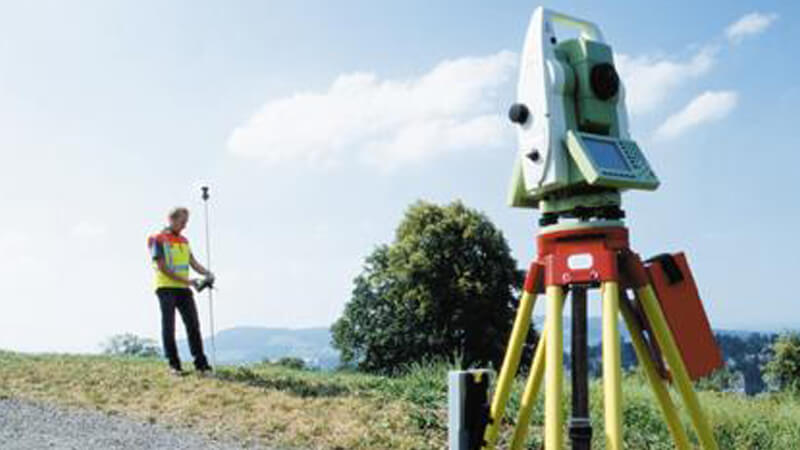
Land surveying is the measurement and mapping of our surrounding environment using mathematics, specialized technology and equipment.
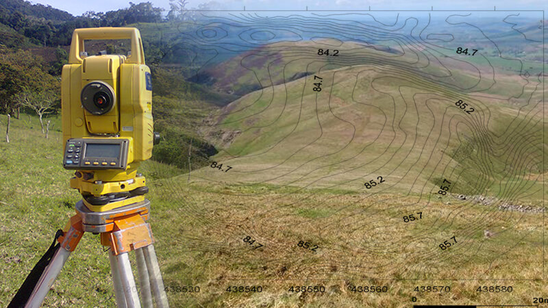
Contouring is the determination of elevation of various points on the ground and fixing these points of same horizontal positions in the contour map.
The purpose of a topographic survey is to collect survey data about the natural and man-made features of the land, as well as its elevations.
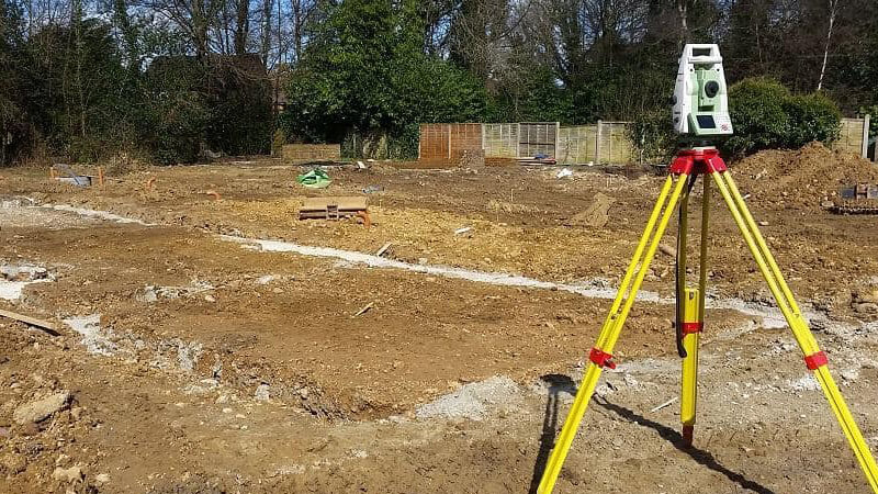
Setting out Survey includes Plot layout designing and marking, Plot Dividing, Column Points , Vertical Checking, Vertical Points Setting out etc.
Surveyors play an integral role in land development, from the planning and design of land subdivisions through to the final construction of roads, utilities and landscaping. Surveyors are the first people on any construction site, measuring and mapping the land. These primary measurements are then used by architects to understand and make the most of the unique landscape when designing and engineers to plan structures accurately and safely, ensuring buildings not only fit with the landscape but are able to be constructed.
We provide accurate, hassle-free,high quality on time land surveys at a Affordable price.

SMARTSURVEY is a professional group of land surveyors, engineers, and consultants providing solution to the land projects.